Trust the Sky to Experts
DGCA-Licensed

Built on safety. Driven by precision. Finished with style. UAV treats every mission like a production and every frame like a promise

01

Safety & Compliance First

Every mission follows DGCA rules, location recce, NOTAM/permission checks, and a written risk assessment. No shortcuts ever.

02

Zero-Surprise Pricing

Clear scope, fixed quote, and delivery timeline before takeoff. You’ll know exactly what you’ll get and when.

03

Results That Matter

Footage that sells, maps that measure, inspections that inform. Edited, named, and exported for web/TV/social or CAD/GIS use.
welcome

Unique Aerial Vision

Unique Aerial Vision is a DGCA-licensed drone cinematography and surveying studio. We blend aviation discipline with film-level craft to deliver cinematic aerials, immersive FPV tours, and survey-grade 2D/3D/LiDAR outputs for real estate, film, construction, industry, agriculture, and events.
From permits and risk assessments to on-site operations and post-production, we run an end-to-end, safety-first workflow. You get polished 4K–8K visuals and clean, georeferenced datasets ready for web, TV, CAD, or GIS without brand-dropping, just results.
Clients Served
0 +
Years Experience
0 +
Happy Customers
0 %

Why Choose Us

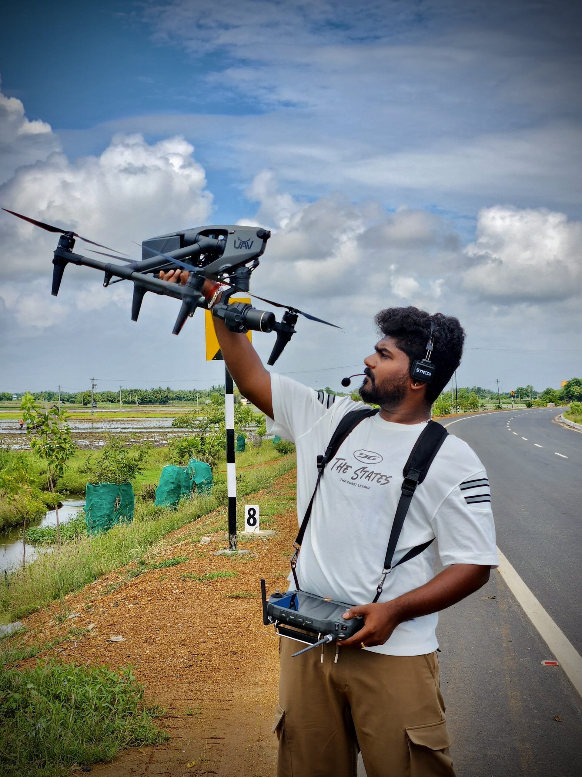
We blend aviation safety with cinematic artistry. DGCA-compliant, insured, and ready to deploy.

We Discuss

We start with a sharp brief and a risk-checked flight plan tailored exactly to your goals and location.

We Create

Pro stabilization, smart lensing, and choreographed flight paths for standout cinematic visuals.

We Produce

Fast turnaround on deliverables: color-graded 4K edits, raw photos, and survey outputs.

Our Services

Cinematography & Ad Shoots

Cinematic drone shots
for ads & films

Live Streaming

Real-time broadcast to YouTube/ Facebook/RTMP

FPV Fly-Throughs

Dynamic one-take indoor/outdoor tours

Real Estate Property Tours

Homes, luxury, and commercial spaces

Agriculture

Crop health monitoring, automated spraying

Construction Progress Monitoring

Scheduled shoots, fixed waypoints

Survey & Mapping (2D/3D)

Orthomosaics, contours, volumetrics

Industrial & Roof Inspections

Towers, facades, utilities (RGB/zoom)

Thermal Inspections (Solar/Buildings)

Hotspot/leak detection with reports

Survey (Land & Boundary)

High-accuracy terrain data, boundary verification

pilots

Our Drone Pilots

We don't just fly

We execute complex missions with precision. Our licensed pilots are trained in aerial cinematography, FPV, and industrial surveying.

We ensure every flight is safe, compliant, and perfectly aligned with your project goals.
locations

our latest projects

Erat magna eu fringilla dolor, tincidunt dictum ultrices varius mi scelerisque consectetur. Elit proin dui adipiscing dignissim sagittis ultrices.

testimonials

What Our Client Says!